GIS and Plan Review
No Extra Tools. No Extra Steps. Just Spatial Intelligence Built into Your Plan Review.
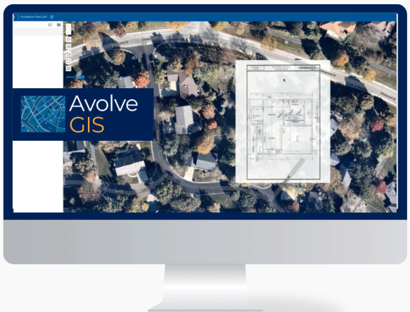
Avolve GIS is the first and only plan review solution with Esri ArcGIS embedded directly into your workflow. Now, you can review plans and maps side-by-side, spotting zoning, floodplain, and environmental conflicts early, without ever leaving the review screen.
Improved Code Awareness
Catch location-based issues early in the process.
Reduce Rework for Faster Approvals.
Avoid back-and-forth by flagging code compliance conflicts upfront.
Future-Proof with Esri
Scales with your agency’s growing GIS needs, ready for 3D and advanced layers.

Avolve GIS
Key Features
Seamless Plan-to-Map switch
Move between plan view and map view instantly.
Plan Rotation
Align plan orientation to real-world geography.
Adjust visibility of overlays for better review.
Mark issues or flag conflicts directly on the map.
Ensures data compliance and controlled access.


.png?width=1654&height=728&name=Avolve%20Logo%20Colour%202025%20(4).png)
-1.png)

